pluvo.
pluvo.
pluvo.
pluvo.
pluvo.
2022
Frame
University Project
Bachelor thesis
Personal role
Research, Concept,
UI/UX Design,
3D Modeling+
Animation
Contributors
Summary
Heavy rain events cause great devastation due to their unimaginable nature and the extent to which they come as a surprise. Pluvo educates people about the risks and thereby supports disaster preparedness.
Heavy rain events cause great devastation due to their unimaginable nature and the extent to which they come as a surprise. Pluvo educates people about the risks and thereby supports disaster preparedness.
Problem
Most people see the city as responsible for taking precautions against floods or are not even aware of their flood risk. However, flooding can be caused anywhere by heavy rainfall, which is already one of the most common natural disasters in Germany. Cities, where the need for heavy rainfall prevention is growing, need several years to plan and implement protective measures.
Most people see the city as responsible for taking precautions against floods or are not even aware of their flood risk. However, flooding can be caused anywhere by heavy rainfall, which is already one of the most common natural disasters in Germany. Cities, where the need for heavy rainfall prevention is growing, need several years to plan and implement protective measures.
Project context.
The problems heavy rain brings!
.heavy rain
Source: Youtube
Occurence and origin
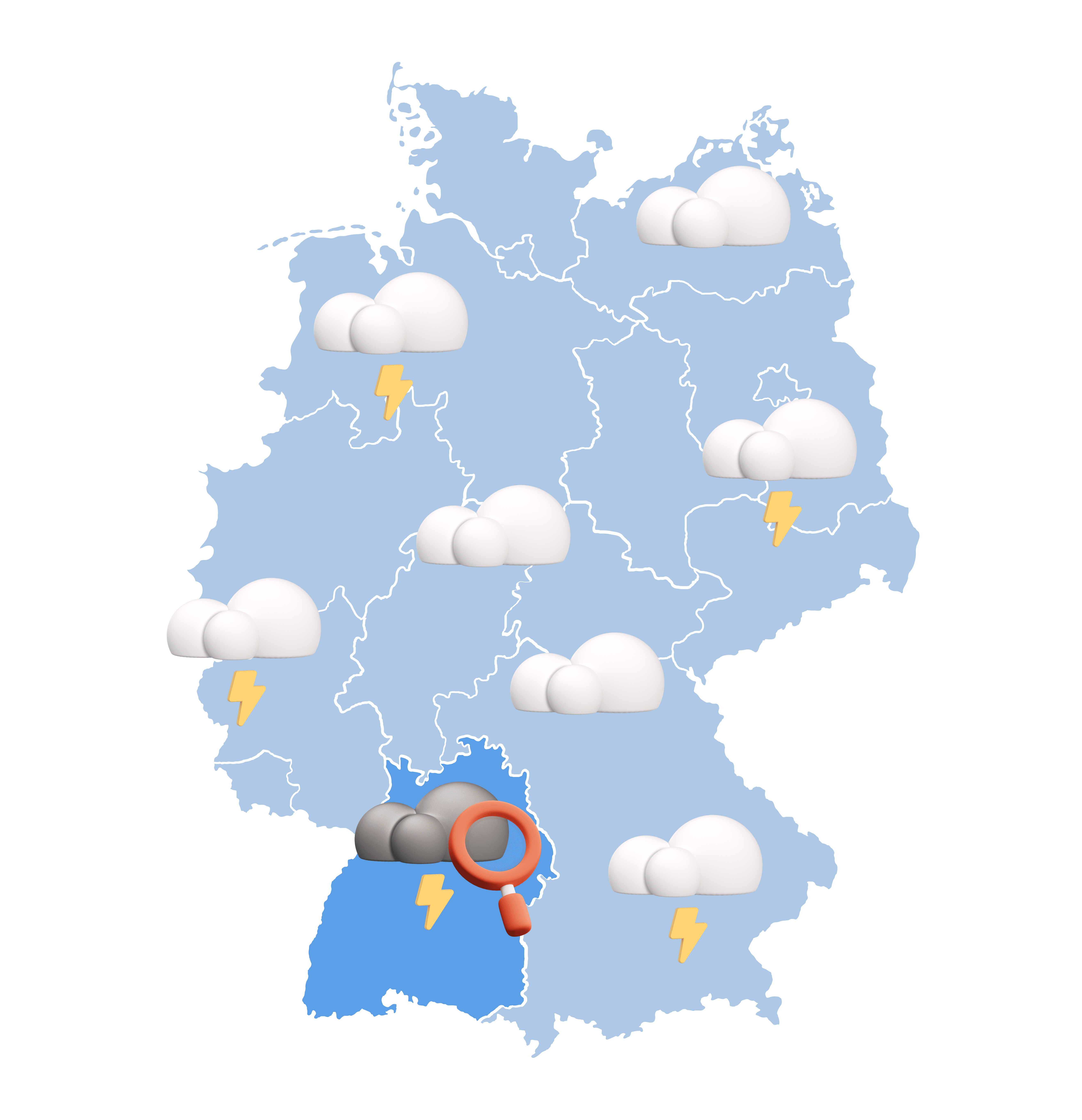
Flooding due to heavy rain can occur independently of water bodies. Warmer air creates higher rain clouds that can carry more water. As they discharge quickly, they often form violent thunderstorms, which have a diameter of about 2-5km.
Masses of water
Due to the dryness of the soils in the warmer months and the sealing of surfaces in cities, the water cannot be absorbed by the soil, in addition, the sewers are not designed for extreme events.
The rainwater must drain above ground and collects in e.g. basements, tunnels, underground garages,...
.hard to spot
Prediction
The German weather service can predict when it is likely to rain in which area, but whether there will be heavy rain can only be calculated precisely up to half an hour in advance.
The German Weather Service can therefore only issue specific warnings for the population and emergency services at short notice.
Reaction time
Once the heavy rain starts, no major measures can be implemented. The water already rises within a few minutes. To prevent damage, therefore, the only time left is before the heavy rainfall
.citizens mindset
Responsibility
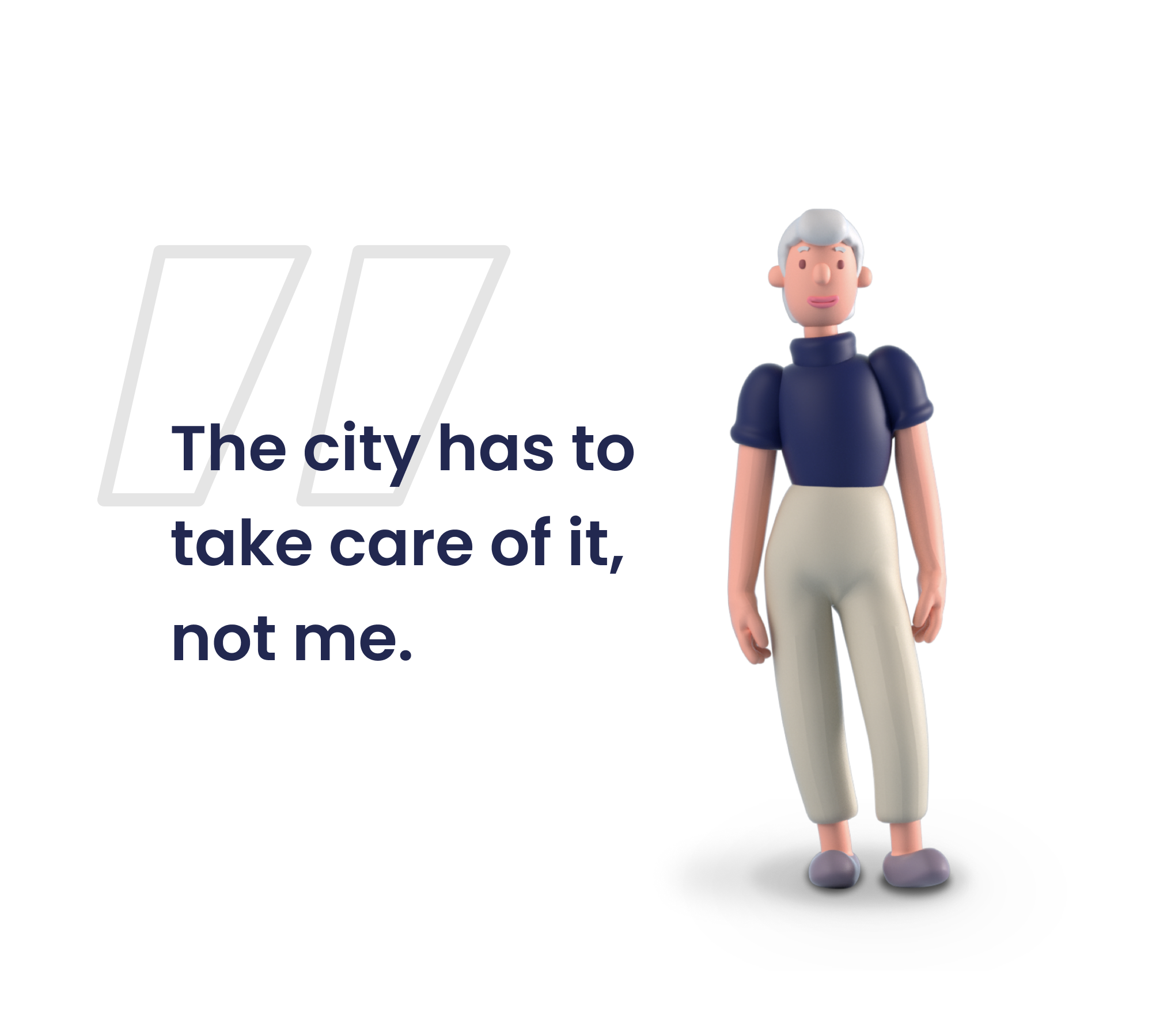
The citizens do not feel responsible for the protection against floods. This is the sole responsibility of the public sector.
But all citizens are obliged to protect themselves against floods and the resulting damage.
Flood risk assessment
According to the association of german insurers, 88% of homeowners incorrectly assess their own flood risk
But in principle, all buildings can be affected by heavy rain and be at risk the insurance companies distinguish.


Relativization
Often unmanageable dangers are relativized and faded out especially when the people themselves have not yet been affected.
But even short heavy rains cause the most damage
and these are almost evenly distributed throughout Germany
Often unmanageable dangers are relativized and faded out especially when the people themselves have not yet been affected.
But even short heavy rains cause the most damage and these are almost evenly distributed throughout Germany
.awareness
Self provision
The best way to avoid flood damage is to take precautions, which can prevent 80% of the damage (GDV). For people to be prepared to take precautions, however, they must first of all be made aware of heavy rain hazards.
The best way to avoid flood damage is to take precautions, which can prevent 80% of the damage (GDV). For people to be prepared to take precautions, however, they must first of all be made aware of heavy rain hazards.


must not scare people away and must meet them in their living environment
must not scare people away and must meet them in their living environment
Must use the right channels to reach people with information they can absorb.
Must use the right channels to reach people with information they can absorb.
Must use the right channels to reach people with information they can absorb.
Good awareness must provide simple tools and actions to make the crisis easier to manage. Everyone should be able to take precautions and seek the right help, regardless of their resources
Good awareness must provide simple tools and actions to make the crisis easier to manage. Everyone should be able to take precautions and seek the right help, regardless of their resources
The product.
Introducing the platform pluvo!
Intro!
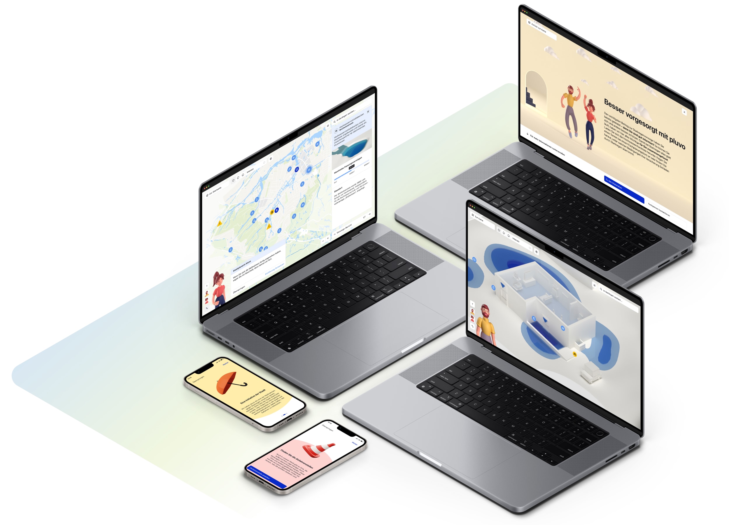
The positive communication of risks, the personal approach in one's own living environment and the transparent presentation of dangers and measures throughout the city inspire confidence in pluvo, an interactive information platform for raising awareness among the population.
Experts
The experts Mona and Tom introduce the people responsible for flood protection, guide users through known danger spots in the city, and help them protect their own homes.
Scenarios
In the following scenarios, the application will be introduced to you. The city of Gerlingen is a cooperation partner of pluvo and provides the required data.

.1st scenario
Curious citizen
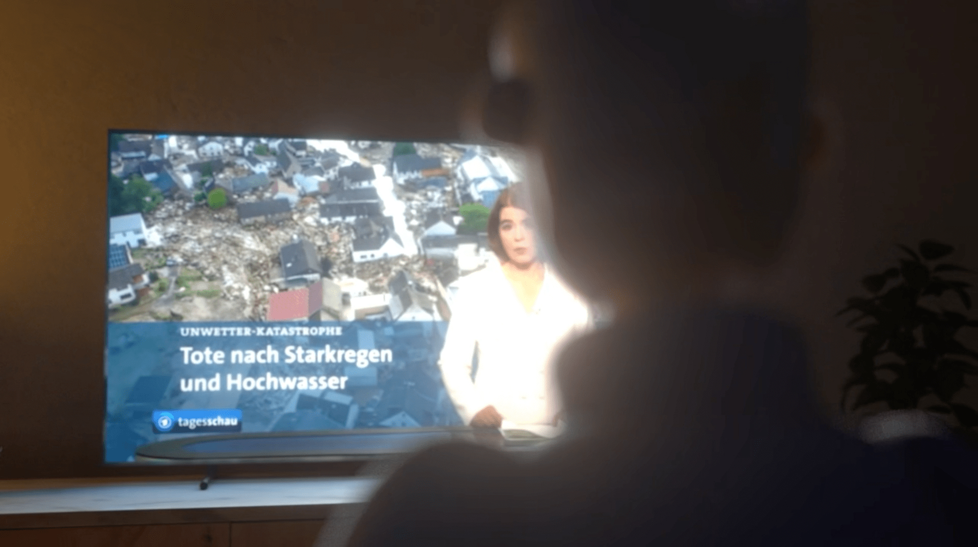
A citizen sees a report about a flood disaster on television. The topic does not let him go and he decides to call the city and informs himself about whether something like this can also happen to him. The city planner refers him to pluvo. He then visits the website on his computer.


.landingpage
Platform explanation
On the landingpage, the user is greeted in a friendly manner by the professionals Mona and Tom. The intention of the platform is explained here. The wording and the protagonists are intended to emphasize that the citizen is not left alone when it comes to precautions.
Trust and transparency
In order to strengthen the feeling of self-efficacy, the effectiveness of personal precautions is emphasized. At the end of the page, the creation of the content is explained, for example, that the hazard map is based on public data and no private information is shared. this is to maintain trust in the application.
In order to strengthen the feeling of self-efficacy, the effectiveness of personal precautions is emphasized. At the end of the page, the creation of the content is explained, for example, that the hazard map is based on public data and no private information is shared. this is to maintain trust in the application.
.heavy rain hazard map
Introduction
During the first visit, users can have all the functions explained to them at their leisure - or access an introduction later if required. The water levels in certain heavy rainfall scenarios are displayed on the map and can be changed in three stages. This makes the possible effects of heavy rain visible and lays the foundation for precautionary measures.
During the first visit, users can have all the functions explained to them at their leisure - or access an introduction later if required. The water levels in certain heavy rainfall scenarios are displayed on the map and can be changed in three stages. This makes the possible effects of heavy rain visible and lays the foundation for precautionary measures.
During the first visit, users can have all the functions explained to them at their leisure - or access an introduction later if required. The water levels in certain heavy rainfall scenarios are displayed on the map and can be changed in three stages. This makes the possible effects of heavy rain visible and lays the foundation for precautionary measures.
.explore the city
Visit most important places
Our experts provide background information and guide you through the most important places in the city. Those responsible are explained and which measures the city has implemented or planned in the area can be followed.
Virtually walkable
Flood markers are placed at frequently affected locations in the city to indicate past heavy rainfall events and provide mobile access to the information platform. These locations will be made virtually walkable. This allows historical water levels and frequent hazards to be tracked.
Raising awareness
on site.
The mobile version!

Visit places
Frequently affected or particularly endangered locations in the city are marked on the map. These can be visited virtually or on site, where the person is forwarded to pluvo.
.2nd scenario
Interested passerby
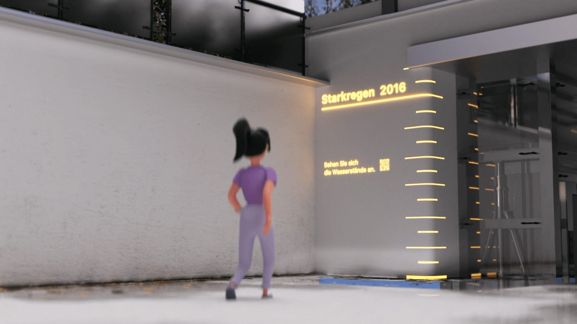
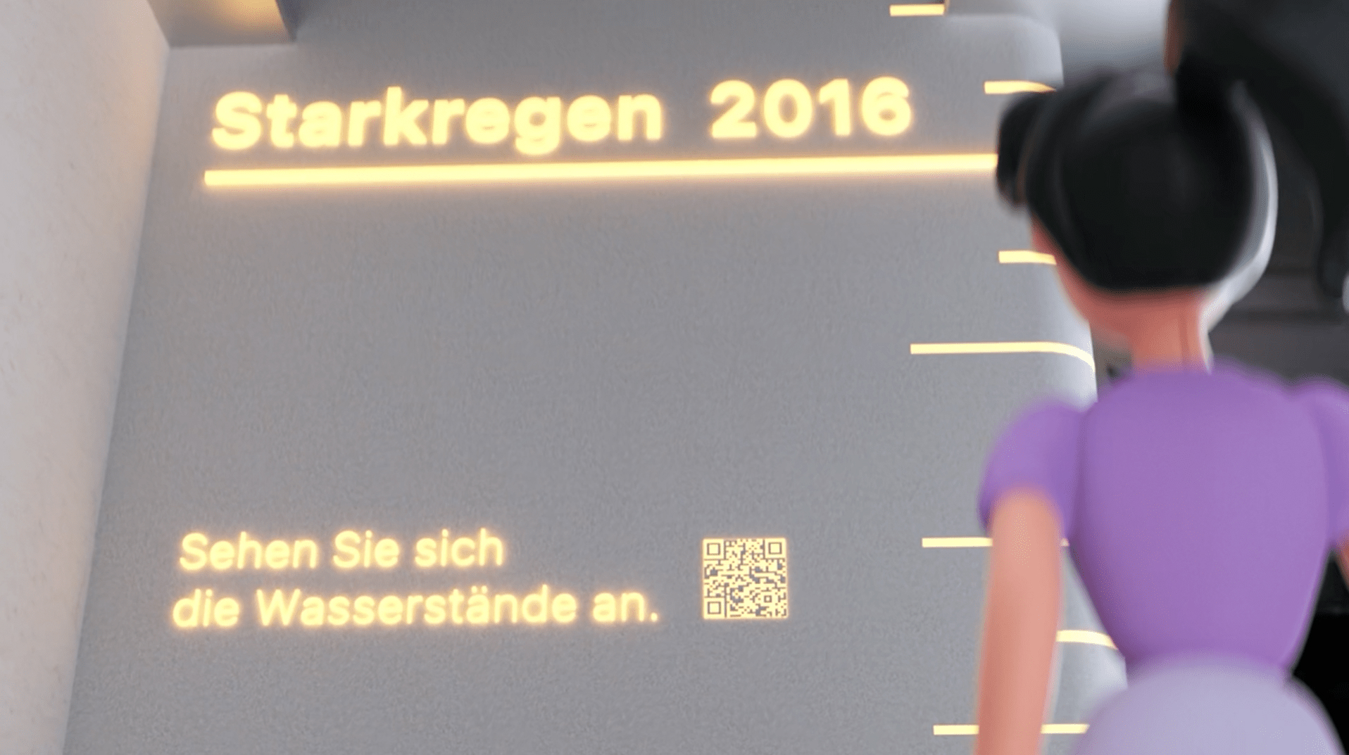
At this underpass in Gerlingen, there is a high-water marker that draws attention to a past flood. A passerby becomes aware of it and scans the QR code, which leads her to pluvo. To keep the interaction time in public low, she lands directly at the scanned location.


.mobile version
More information
Past or potential water levels are marked and can be experienced without putting oneself in danger. Users receive valuable information in the event of an incident and gain an understanding of the dangers and the actions of the city in the event of flooding.
Own living
environment.
Learn to assess your own risk!
Spot possible weakpoints
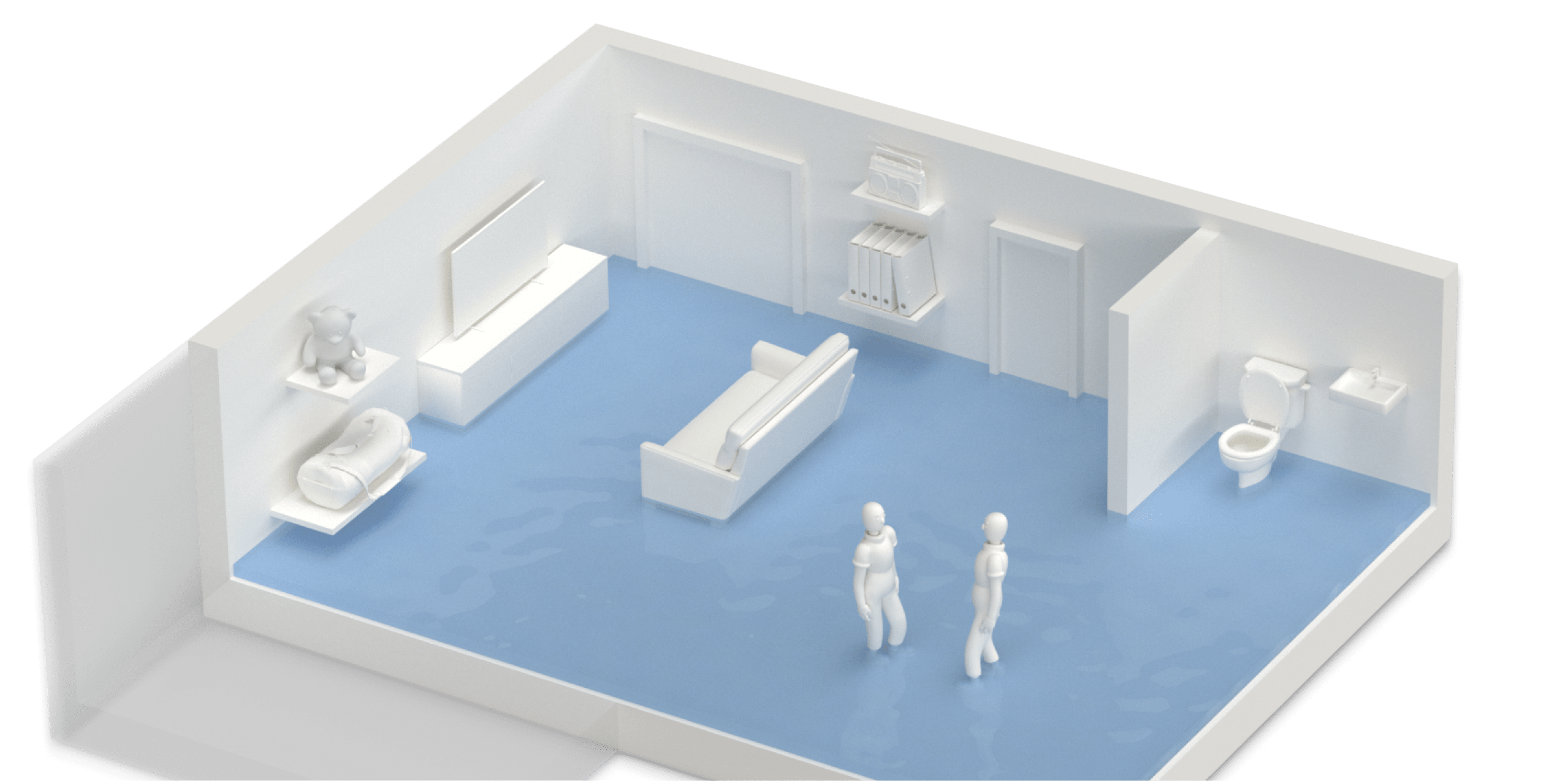
Users can find out whether the municipal measures have an impact on their own neighborhood by looking at their own building. There, they can get an overview of common weak points on and in the building, as well as possible water levels during heavy rain.
.3rd scenario
Letter for households
In the last scenario, the city sends letters to households that are particularly at risk. A homeowner opens the letter and is directly informed about the potential danger and the flood platform she is interested in her own building.


.personal danger
Recommendations
Recommendations
At each danger point, suitable recommendations for action and possibilities for safeguarding are offered so that everyone can discover a suitable type of precaution. For specific recommendations, we always refer to the experts in the area, because only they can perform an accurate risk analysis and plan effective precautions.
Your own building is generated based on the floor plan on the map and shows potential water levels on the property.
.conclusion page
Precaution to go
For the conclusion, the beneficiaries are positively encouraged and get an overview of their progress in flood prevention through the achievements gained by certain actions. By reflecting on their own risk and flood preparedness goals and suggesting the appropriate experts, the inhibition threshold to self-preparedness is lowered. Helpful resources can be taken along in case of an emergency - because the right risk assessment and appropriate measures protect best.
© Philipp Henzler 2024